
Plainfield Delivery Areas
Plainfield’s postal geography has two standard delivery ZIP codes associated with city addresses, 07060 and 07061. Nearby North Plainfield adds a useful caution: official borough material uses 07060, 07062, and 07063 in its postal context. The same postal word can therefore appear beside different municipal records. The table keeps city delivery use and broader Plainfield-area search results distinct rather than treating every nearby result as a City of Plainfield address.
| ZIP | Postal delivery context | Post office label | Research note |
|---|---|---|---|
| 07060 | Plainfield city addresses and some addresses labeled Plainfield | Plainfield, NJ | Standard delivery ZIP. It is not identical to city limits and also appears in North Plainfield postal context. |
| 07061 | Plainfield city addresses, including delivery segments using this routing | Plainfield, NJ | Standard delivery ZIP. Plainfield Municipal Court is listed with this ZIP; route lines can differ from wards. |
| 07062 | North Plainfield postal area | North Plainfield and Plainfield postal-label context | Not a City of Plainfield ZIP by itself. It may appear in a broader area search. |
| 07063 | North Plainfield postal area | North Plainfield | Use only when the question concerns Plainfield-area postal geography rather than the City of Plainfield proper. |
The Postal Service, not a general ZIP list, is the source for an exact route assignment. Record the returned city line with the address and the date checked. Parcel, ward, and municipal sources should be recorded separately.
Verify a Plainfield ZIP Code at USPS
The first step is an exact-address check at the official USPS ZIP Code Lookup. Enter the street address or a city-and-state query and compare the returned delivery ZIP and city line with the address in hand. This is especially important for 07060, because Plainfield and North Plainfield can share its postal context. A result from the Postal Service confirms routing for that address; it does not determine City of Plainfield jurisdiction or a parcel’s legal description.
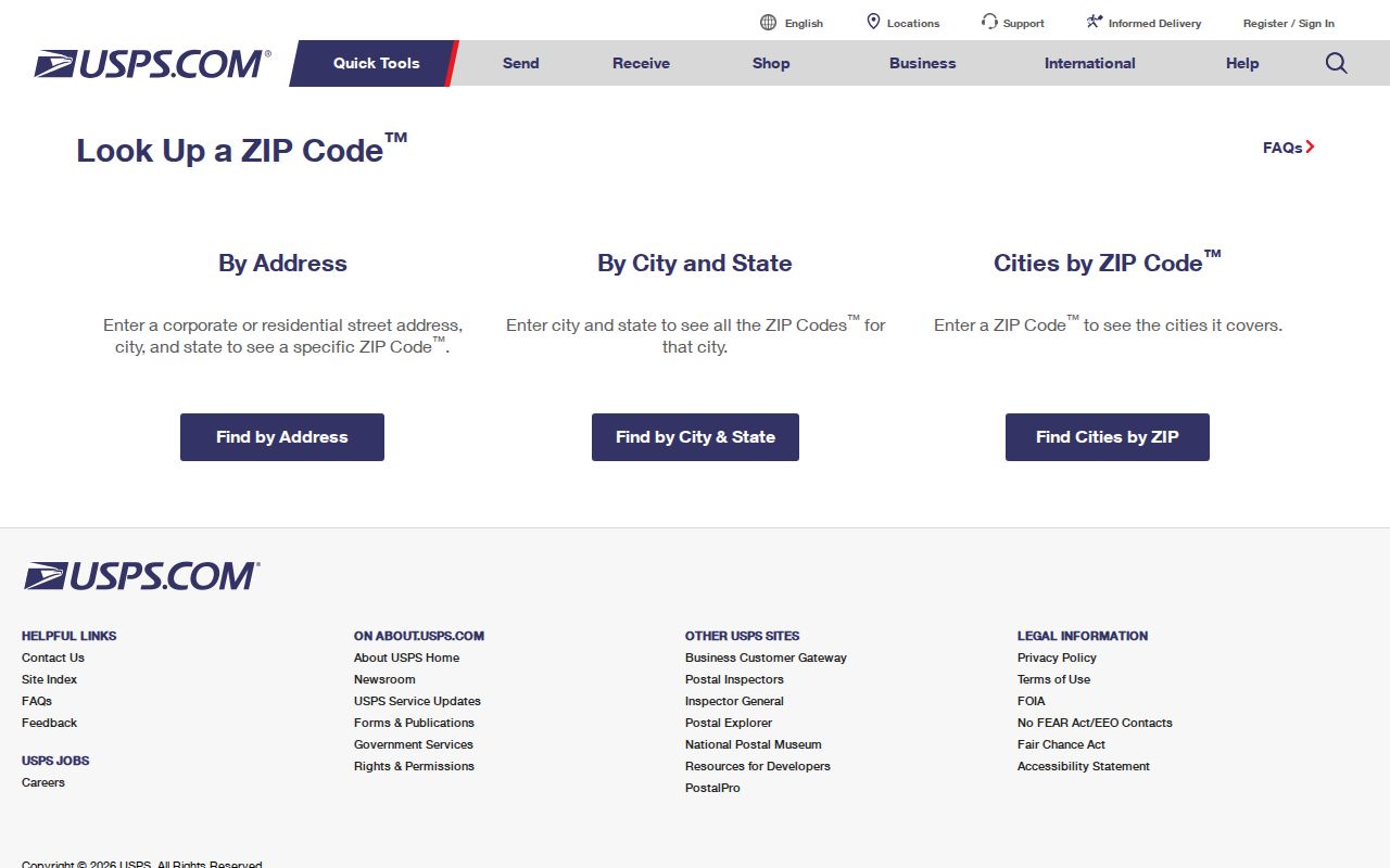
The USPS screen is the right place to settle a delivery question before moving into property records. Save the street spelling, directional term, unit where applicable, and returned line exactly as shown, because small address differences can affect a result.
USPS also maintains a mail and shipping address resource, but no official source located a unique or PO-box-only ZIP for the City of Plainfield. That absence matters. A unique institutional ZIP or a box-only ZIP should not be added merely because an area search produces several nearby codes.
Note: A Postal Service return verifies delivery routing for the entered address, while municipal and parcel questions need separate local records.
Use a Verified Plainfield Address
A ZIP guides an address investigation, but the documented city and county tools are not ZIP-wide resident databases. The local tax portal uses street, block and lot, or account number. NJGIN Property Explorer uses address, county, municipality, block, and lot. Union GIS browses map extent and parcel layers. The useful handoff is from a USPS-verified address to a parcel key, then to the specific custodian that holds a tax, map, deed, or election record.
- Use USPS to verify the exact delivery ZIP and city line for one Plainfield-area address.
- Enter the same address in the Plainfield Tax Collector portal, trying documented suffix variants when needed. Record its block, lot, qualifier, account, and situs address.
- Use NJGIN or the Union County Public Map to compare municipality, parcel geometry, roads, and blocks and lots. Do not substitute the postal ZIP for a municipal boundary.
- Use the parcel owner’s name only where a named, record-specific question calls for the Union County deed index. The index is name-based, not ZIP-based.
- For an election question, use the ward and district map and the applicable state or county record channel. ZIP alone is not election geography.
When the postal area has narrowed to a named street, the detailed parcel sequence is on the Plainfield Street Directory. It follows an address through tax, GIS, and recorded-land systems without pretending that a ZIP search supplies the same information.
Plainfield Property Search Fields
NJGIN Property Explorer is the documented state property route after an exact address is verified. It does not provide a documented ZIP-only people search. Instead, it uses a ZIP-verified address or property identifiers to find parcel and tax context. The search modes below are the captured Property Explorer fields, and they show why the postal ZIP should be treated as a locator rather than the property system’s primary key.
| Property Explorer field | Input type | Use after ZIP verification | Limit noted in research |
|---|---|---|---|
| Address | Address search | Look up the precise USPS-verified street address. | Address data can display a ZIP, but it is not a municipal boundary. |
| County | Geographic selector | Set Union County before comparing Plainfield-area property records. | County is broader than municipal or postal routing. |
| Municipality | Geographic selector | Choose Plainfield or the appropriate municipality after checking the address. | A Plainfield postal label can cross the city line. |
| Block and lot | Property identifiers | Carry the identifiers from the tax result into parcel research. | Keep a qualifier when the local record uses one. |
The state’s NJGIN Property Explorer and parcels page describes the address and property-key route and warns about Daniel’s Law redactions in parcel and tax-list material.
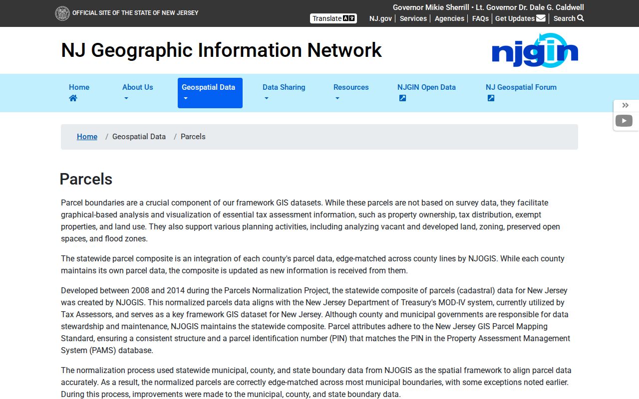
Use the portal to reconcile a delivery address with county, municipality, block, and lot. The map is reference data, and a protected owner field may be redacted. The Plainfield assessor counter remains the confirmation route for a complete local property card.
Plainfield ZIP Code City-Line Gaps
A postal code is used for routing. A city limit is a municipal boundary. A situs address is the physical location of a parcel, and a legal description identifies the land in recorded terms. Those systems overlap but do not replace one another. A Plainfield mailing address can refer to a North Plainfield or adjacent-area location, and 07060 is the clearest local example of why a delivery line must be checked against the tax and GIS result.
- ZIP
- A Postal Service routing code used to sort and deliver mail. It is not a list of residents or a city-boundary map.
- ZIP+4
- An added four-digit delivery segment used with the five-digit ZIP for more precise mail sorting.
- PO-box ZIP
- A ZIP assigned for post-office box service. No verified box-only ZIP for City of Plainfield was located in the research.
- Unique ZIP
- A ZIP serving a single organization or delivery point. No verified unique ZIP for City of Plainfield was located.
- Carrier route
- A delivery sequence used by postal carriers. It is a routing tool, not a municipal or election district.
Note: Preserve the postal city and ZIP alongside the current municipality and block/lot so different geographic systems do not get merged.
Plainfield ZIP Code and Election Maps
Election records use registration address, municipality, ward, and district. A ZIP may appear in an address but is not the legal election geography. The New Jersey status service addresses the registration-status question, while Union County handles election-document requests and maintains district material. The research did not locate a Plainfield-by-ZIP voter-statistics table or a rendered field inventory for the live status form. That missing documentation should not become a claim that a ZIP can retrieve a voter list.
The Union County Board of Elections district-map page supplies the official route to the Plainfield map.
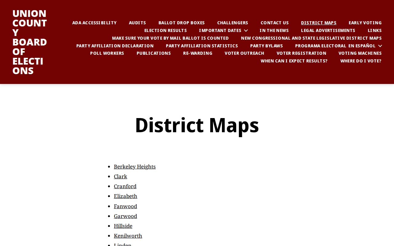
The map supports a parcel-to-ward or district comparison after the municipal address is confirmed. Its March 2022 Plainfield ward and election map describes boundaries that draw on surveys, recorded plans, tax assessment maps, and documents. It is not a replacement for an exact USPS delivery lookup or a legal parcel survey.
Note: Ward and district lines answer election-geography questions, while USPS and property records answer separate delivery and parcel questions.
Plainfield ZIP Code History Is Postal
Older local sources can use a wider Plainfield name than a modern city record. The introduction to the 1977 directory describes a trade area reaching Fanwood, Scotch Plains, Green Brook, Warren, Watchung, and North Plainfield. That was commercial geography, not a present municipal boundary or a modern ZIP map. Historical directories can be valuable for a street, business, or household snapshot, but a printed Plainfield label needs reconciliation with the date, street number, postal line, and parcel identity.
USPS bulletin evidence in the research identifies a 2017 routing change that assigned 07076 to Scotch Plains from a Plainfield container. No verified local split or realignment year for City of Plainfield was found. The appropriate conclusion is narrow: routing history exists, but a precise Plainfield ZIP-boundary change has not been documented in the reviewed official sources.
Plainfield ZIP Code Limits
A postal directory is useful for checking delivery geography and choosing the right address tools. It cannot supply a complete resident roll. The City Tax Collector does not document a ZIP-wide search and instead requires street, block and lot, or account information. NJGIN does not document a ZIP occupant directory, and Union GIS uses parcel layers rather than a public ZIP resident list. Voter records are also governed by registration address and district, with protected fields and protected addresses removed where the law requires.
Keep the keys separate. Use the ZIP for delivery verification, the street and parcel identifiers for property research, and ward or district for election geography. Each key has a different custodian and purpose.
Do not treat a tax mailing address as proof of residence, or a map label as a complete ownership record. Daniel’s Law and the New Jersey Address Confidentiality Program can limit fields in otherwise public systems. A redacted result is a protection rule, not a cue to search around the protection.
Plainfield ZIP Code Records Beyond the Web
When a web result is missing or ambiguous, use the custodian that holds the underlying record. The Plainfield Tax Assessor is at 515 Watchung Avenue and 908-753-3203 for a local property-card route. The Tax Collector’s documented online search is a separate channel at 908-753-3214. Union County GIS can address map-layer questions, while the County Clerk Record Room in Elizabeth holds land transactions from 1857 to the present when the online land index or image is incomplete. The Clerk’s web index begins June 1, 1977 and is name-indexed.
For election records, the Union County Board of Elections offers counter, phone, email, request-form, and OPRA channels. Its office is at 271 North Broad Street in Elizabeth, telephone 908-527-4123, with customer service listed from 8:00 a.m. to 4:00 p.m. weekdays. Ask for the exact record, place, and date range and confirm current fee or delivery details. The Board, not a ZIP map, can explain its current election-record procedure.