
Plainfield Neighbors Block Source Coverage
The records around a Plainfield address describe parcels, recorded parties, civic geography, and historical occupants in different ways. The strongest block trail starts with the parcel boundary and its block and lot number. It then moves to the tax, Clerk, district-map, voter, directory, and archive sources that apply to that one parcel. No public source creates a complete roster of everyone who lives nearby.
| Block source | What it shows about nearby parcels | Access |
|---|---|---|
| Union GIS parcels and blocks/lots | Parcel shapes, block/lot values, roads, ward/district, zoning, and adjoining polygons | Public map service; reference map, not a survey. |
| NJGIN Property Explorer | Address, county, municipality, block/lot, and parcel context | State property data route; protected owner names can be redacted. |
| Plainfield tax search | Tax bill or account connected to an address or block/lot | Street, account, or block/lot search; no documented bulk street export. |
| Union Clerk maps and deeds | Recorded parties, instruments, plats, subdivision, and legal lot structure | Online name index from 1977 and Record Room research from 1857. |
| BOE district map and voter channel | Ward, election district, polling geography, and public registration fields where allowed | County district maps; county request for specific election records. |
| Directories and newspapers | Historical occupants, businesses, cross streets, club notices, and family references | Plainfield Library and digitized collections, with year gaps. |
A map polygon establishes a parcel relationship. It does not prove that a current owner lives there, that every household member is known, or that two people know each other. Use the source date and type in every note. A historic directory can be useful for former Plainfield neighbors, but it is an occupant snapshot from its publication period, not a current roster.
Note: A block can include commercial space, vacant land, institutions, protected addresses, and more than one postal ZIP.
Map Adjacent Plainfield Parcels
The adjacent-parcel method keeps the search tied to geography rather than a guessed radius. Begin with a verified address in the Union County map or NJGIN Property Explorer. Enable the parcel, block/lot, roads, and municipal ward/district layers. If the viewer provides an Identify or Select tool, use it on the target parcel. Otherwise, inspect the attributes on each adjoining polygon individually.
- Locate and confirm the target Plainfield address and its municipality before treating a postal label as a city boundary.
- Record the target parcel’s block, lot, and qualifier, then save the same values for each parcel that shares a boundary or is directly across the road.
- Use road centerlines and lot geometry to separate side parcels from rear lots, corner parcels, and properties across a street.
- Query the Plainfield tax search by block/lot or address, then confirm a recorded party through the Assessor or the Union County Clerk rather than relying on a map label alone.
- Overlay ward/district and zoning layers when needed. Adjacent parcels can have different public geography or use classifications.
For a full named-street record chain, the Plainfield street directory follows the address route in more depth. A block search should remain focused on the immediate parcel pattern and its documented sources.
Plainfield Neighbors Need Block and Lot Keys
Block and lot are parcel identifiers assigned in local tax and mapping systems. They are more dependable than a loosely stated address because one street can have an unusual shape, a rear parcel, or a former street name. A qualifier further distinguishes a parcel when the local system uses one. Write the values exactly as displayed before moving to a tax bill, deed, plat, or court filing that refers to property.
Union County’s web land index is name-indexed rather than address-indexed. It begins June 1, 1977, while the Record Room holds land transactions from 1857. Use the block/lot and a recorded party to narrow the deed search. A recording connects someone to an instrument or property transaction, not necessarily to present residence. For older Plainfield neighbors, pair a block result with the 1891 street directory, city-directory address pages, deed chains, and the 1892 Sanborn sheets.
- Parcel
- A mapped piece of land used for taxation and land records. Its shape is a geography clue, not proof of who occupies it.
- Block and lot
- The local identifiers used to locate a parcel in tax and map systems. Together they help connect an address to record requests.
- Plat
- A recorded map that can show subdivision lines, lots, streets, or legal layout. It is not a household list.
- Tax mailing address
- The address used for tax notices. It may differ from the parcel and does not prove where an owner resides.
Plainfield Neighbors Across Wards and Districts
Parcel geography gives a block context that a name alone cannot supply. Union County’s public map includes parcels, blocks/lots, roads, cemeteries, wards/districts, and county zoning. The official Board of Elections map adds a Plainfield ward and election-district view. Its March 2022 municipal map describes boundaries based partly on surveys, recorded plans, tax assessment maps, and documents, while noting that parcel boundaries maintained by NJGIN are not a legal survey.
Use the ward or district layer to understand civic geography, not to infer personal details. It can explain why adjoining parcels are served by different polling locations or sit near a municipal boundary. The map also helps separate a Plainfield address from a nearby municipality when postal routing overlaps. Save the map date because boundaries and map layers can change.
Plainfield Neighbor Voter Records
The official New Jersey Voter Search is for checking registration status. Public registration records can include name, residence address, mailing address when maintained, party affiliation, ward or district, and status, but statutory protections limit what is disclosed. Signatures, Social Security numbers, driver-license and non-driver ID numbers, and protected addresses are withheld. A ballot choice is never a public resident field.
For a specific existing election record, contact the Union County Board of Elections at 271 North Broad Street in Elizabeth, 908-527-4123, or ucboe@ucnj.org. The office provides English and Spanish election-document request materials. Ask for the current format, fee, statutory basis, and treatment of protected addresses. Do not assume a request produces an unrestricted block list or a new analysis created by the agency.
New Jersey marks a voter inactive when the address has come into question, such as after a returned sample ballot or evidence of a move. That status is not a finding about residence history. It is a maintenance status with its own update and restoration process.
Plainfield Community Directory Gaps
There is no verified current citywide directory of Plainfield neighborhood associations in the reviewed municipal sources. The absence matters: no organization name, current contact, member roster, or block coverage should be invented from a historic reference. The sources do document community history and archive holdings, which can guide a careful historical inquiry without exposing private membership.
| West End Civic Association | Documented as the 1921 group that saved the Drake House and became the Historical Society of Plainfield. It is a civic-history link, not evidence of a current block-member directory. |
|---|---|
| Kenyon Gardens Association | Named in the Drake House collections finding aid. Historical association records are noted, but a current member directory or contact route was not located. |
| Netherwood Heights Association | Named as an index term in the Drake House collection material. Current directory availability was not verified. |
| Citywide association roster | Plainfield planning and code materials use neighborhood and community-association language, but no official current master roster was found in the inspected city sources. |
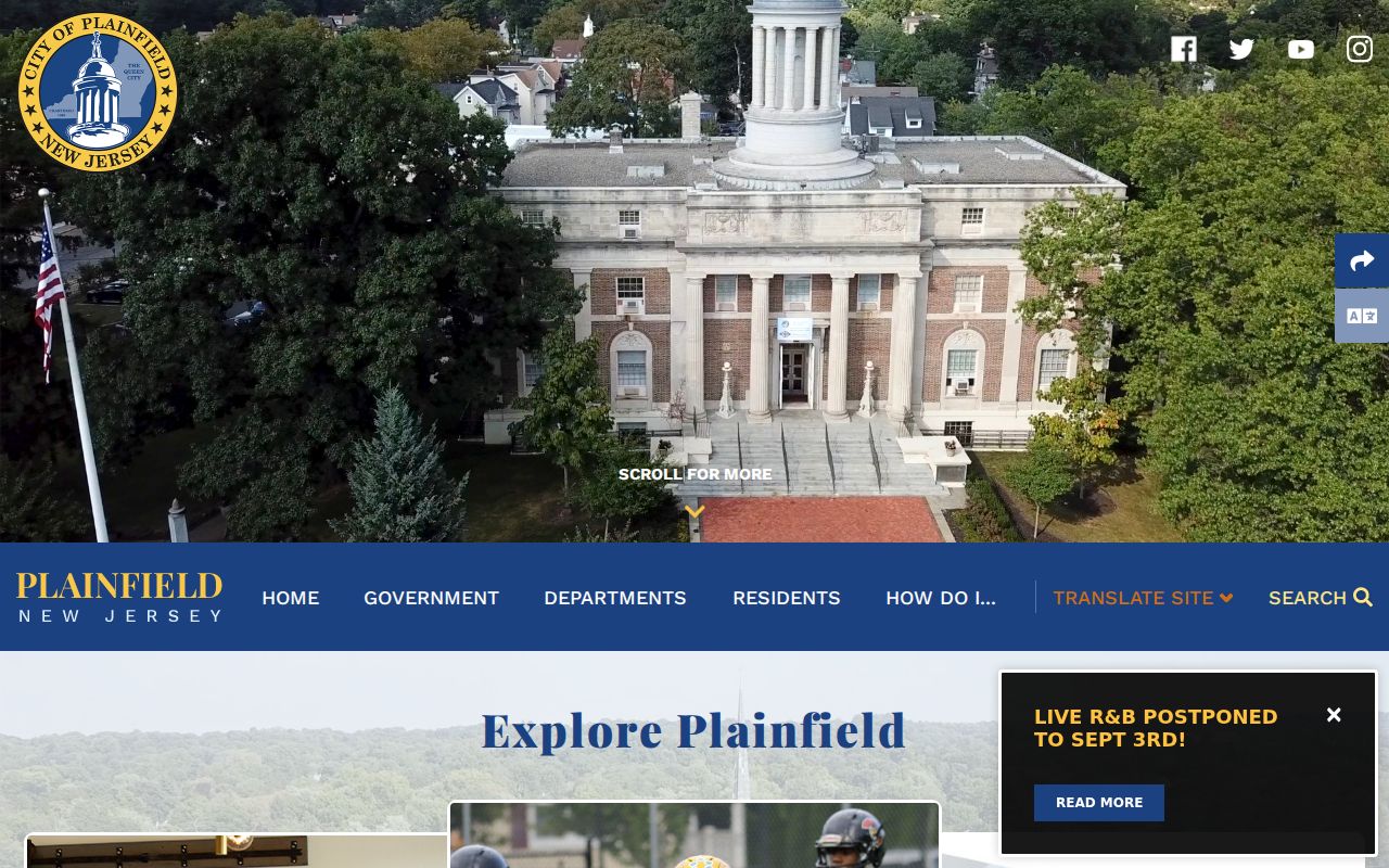
The Plainfield city landing and document-center page is the municipal source captured here. It did not expose a verified current neighborhood-association directory.
For public-facing community context, check the Cultural and Heritage Commission, the Historical Society of Plainfield and Drake House, the library community guide, congregations, schools, PTAs, and recognized civic groups. Those channels can identify public programs or archival material, but private membership lists are not presumed public.
Plainfield Neighbor History in Library Collections
When a present-day parcel trail ends, Plainfield local-history collections can show how a block was remembered. They include city directories, state-census microfilm, yearbooks, obituaries, vertical files, photographs, maps, and local club or organization material. Plainfield Voices interviews and oral histories of African-American, Latino, and Hispanic communities preserve former residents’ accounts that may not appear in a tax or deed record.
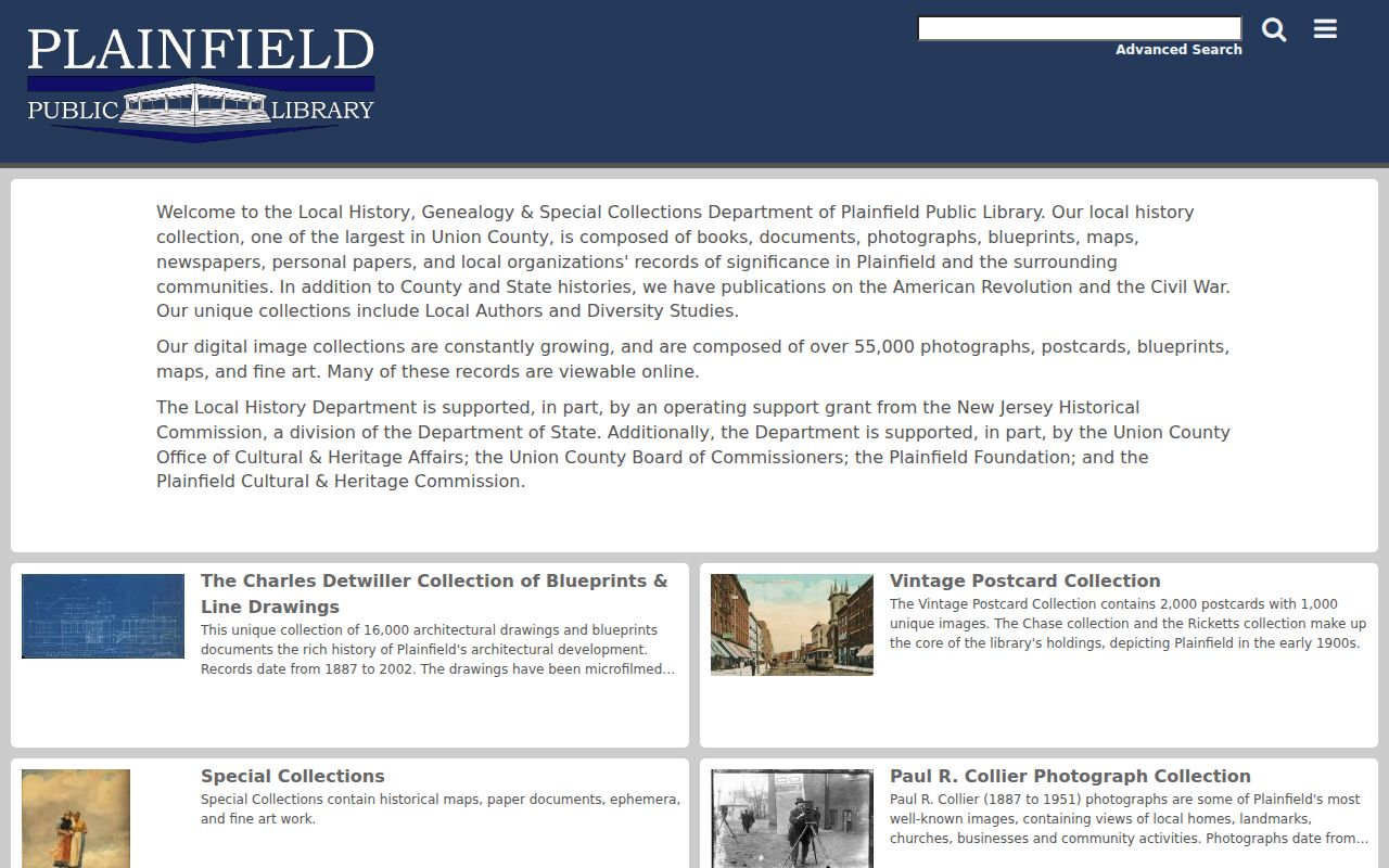
The Plainfield Public Library digital collection brings together photographs, maps, blueprints, and other local-history objects for this type of neighborhood research.
Use an exact address or cross street, the directory year, and original surname spellings when asking about a historical block. The 1891 street section can add cross streets, while the 1892 Sanborn maps show built form and adjacency. Neither source establishes today’s household members.
Note: Archive records may describe a community connection without providing a current address, roster, or permission to republish private material.
Plainfield Neighbors: Official and Commercial Sources
Official sources and commercial neighbor-search products serve different purposes. The official route shows what the responsible custodian currently provides and gives a correction path for a record error. Commercial products can combine public filings, directory information, marketing data, and other sources, but they may be stale, merge people with the same name, or omit the source date. Treat either kind of result as a lead to verify, not as a complete account of a household.
| Source category | Useful block evidence | Limits and next step |
|---|---|---|
| Official parcel, tax, deed, and district records | Parcel key, recorded party, legal geography, and dated public record context | May be redacted or incomplete; correct an error with the named custodian. |
| Library directories, maps, and newspapers | Historical occupants, cross streets, public notices, and neighborhood context | Year-specific and incomplete; compare more than one source. |
| Commercial neighbor-search category | A possible lead assembled from mixed data sources | May be stale or conflate people; use official records for verification and corrections. |
The Union County Clerk’s deed route and the local Assessor or Tax Collector are the correct places to resolve a property-record question. The county Board of Elections handles its election records. A listing removed from a commercial profile does not correct the deed, voter, or tax source from which data may later reappear.
Plainfield Neighbor Privacy Limits
Property and map records are not a household census. Renters and non-owner household members may not appear in tax or deed data. Utility accounts, delivery addresses, DMV addresses, and private school or medical records are not part of the public parcel chain. A tax mailing address is not evidence that a person lives at the parcel.
OPRA, N.J.S.A. 47:1A-1 et seq., requires redaction of protected personal information and does not override other privacy laws. Daniel’s Law can protect the residence address and unpublished telephone number of covered people and their immediate households. The Address Confidentiality Program also supplies a substitute legal mailing address to eligible participants. A valid public map may therefore omit or substitute identifying address information.
Lawful use. Use Plainfield neighbor records for personal, historical, or civic curiosity, not to monitor, confront, harass, or intimidate anyone. New Jersey law prohibits stalking and harassment, and protected addresses must remain protected.